Geostationary orbit
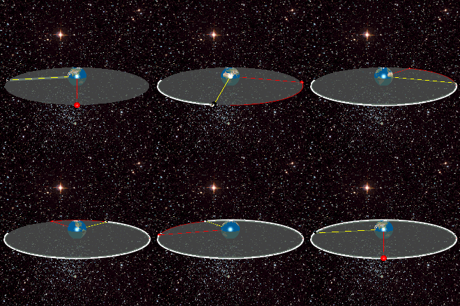
A geostationary orbit or GEO (from English geosynchronous equatorial orbit), is a particular type of orbit geosynchronous or geosynchronous orbit: it is an orbit in the Earth's equatorial plane, with zero eccentricity (circular orbit) and a movement from West to East. It is a circular orbit 35,786 kilometers away from the Earth's surface (42,164 km from the center of the Earth), above the equator, and orbiting in the same direction as the Earth's rotation.
From the ground, a geostationary object appears stationary in the sky and is therefore the orbit of greatest interest to operators of artificial communication and television satellites. This is because its orbital period is equal to the Earth's sidereal rotation period, 23 hours, 56 minutes and 4.09 seconds. Because its latitude is always equal to 0º, the locations of the satellites only vary in their longitude.
The idea of a geosynchronous communications satellite was first published in 1928 by Herman Potočnik. The idea of a geostationary orbit was popularized by science fiction writer Arthur C. Clarke in 1945 as a useful orbit for communications satellites. Consequently, this orbit is sometimes referred to as the Clarke orbit. Similarly, the Clarke belt is the zone in space, approximately 35 786 km above sea level, in the plane from the equator where geostationary orbits can be achieved.
Geostationary orbits are useful because a satellite appears stationary relative to a fixed point on the rotating Earth. The satellite orbits in the direction of the Earth's rotation, at an altitude of 35,786 km. This altitude is significant in that it produces an orbital period equal to the period of Earth's rotation, known as a sidereal day. As a result, an antenna can be pointed in a fixed direction and maintain a permanent link to the satellite. A geostationary transfer orbit is used to move a satellite from low-Earth orbit to a geostationary orbit.
Use
Geostationary orbits can only be achieved very close to a ring of 35,786 km above the equator. In practice, this means that all geostationary satellites must be in this ring, which can cause problems for satellites that have been retired at the end of their useful life. Such satellites will continue to use an inclined orbit or move to a graveyard orbit.
There is a worldwide network of geostationary weather satellites that provide visible and infrared images of the Earth's surface and atmosphere. These satellites include:
- Geostationary Operational Environmental Satellitefrom the United States.
- Meteosat, launched by the European Space Agency and used by EUMETSAT.
- GMS, from Japan.
- INSAT, from India.
- ARSAT-2, from Argentina.
Most communications satellites and television satellites operate from geostationary orbits; Russian television satellites often use Molniya orbits due to the high latitudes of their audience. The first satellite placed in a geostationary orbit was Syncom-3, launched by a Delta-D rocket in 1964.
Practical limitations
Although a geostationary orbit should keep a satellite in a fixed position above the equator, orbital perturbations cause a slow but steady drift away from its geostationary location. The satellites correct these effects through parking maneuvers (orbital station-keeping). The useful life of the satellites depends on the amount of fuel they have and spend in these maneuvers. For example, the fact that the earth's equator is not perfectly circular but slightly elliptical causes a loss in the length of the satellites' orbit that is corrected by increasing their speed by up to 2 m/s per year (Soop 1983); this amount can be converted to an amount of propellant using the Tsiolkovski equation.
Contenido relacionado
Material fatigue
Chandra X-ray Observatory
Electrical blackout


